Avoid Common Mistakes in Performance Testing for Construction Mapping Drones
In the rapidly evolving landscape of construction technology, drone-based mapping has become indispensable for site surveys, progress tracking, and project planning. However, many teams overlook a critical factor that can undermine the entire mapping process: proper performance testing. According to a 2023 report by the Association for Unmanned Vehicle Systems International (AUVSI), nearly 68% of construction firms encounter mapping inaccuracies due to inadequate drone performance validation. These inaccuracies translate to costly rework, project delays, and compromised safety protocols. The core challenge lies not in the drone technology itself, but in the testing methodologies used to validate it—especially when it comes to battery performance, environmental conditions, and data consistency. Without meticulous testing, even the most advanced construction mapping drones can deliver misleading results, turning potential efficiency gains into financial liabilities.
5 Critical Performance Testing Errors to Avoid
1. Ignoring Battery Performance Under Real-World Conditions
Many teams test drones in controlled lab environments with ideal battery conditions, but construction sites present harsh realities. Batteries degrade faster in cold temperatures (below 5°C), high humidity, and during high-power operations like 3D mapping. A study by the National Institute of Standards and Technology (NIST) found that drone batteries can lose up to 40% of their effective capacity in field conditions compared to lab tests. For example, a drone that claims 45 minutes of flight time in a lab might only deliver 25 minutes on a cold winter construction site, leading to incomplete surveys and repeated flights.
Key Fix: Always conduct battery tests under conditions mirroring your actual project environment. Use a calibrated thermometer to monitor temperature and test batteries at their operational limits.
2. Overlooking Environmental Variables
Construction sites are dynamic environments with varying wind speeds, dust levels, and electromagnetic interference. Many teams test drones in calm, open fields, ignoring how these factors affect flight stability and data capture. The Federal Aviation Administration (FAA) notes that wind speeds over 15 mph can cause significant mapping errors in drone data, particularly for LiDAR and photogrammetry systems.
Key Fix: Implement multi-condition testing protocols. Test in various weather scenarios (light rain, moderate wind, high dust) and at different times of day to account for changing environmental factors.
3. Skipping Calibration Checks Before Each Flight
A common oversight is failing to recalibrate the drone’s sensors before every mission. Gyroscopes and compasses can drift due to temperature changes or electromagnetic interference from site equipment, leading to misaligned maps. A 2022 survey by Construction Dive revealed that 52% of surveying errors were directly linked to uncalibrated sensors.
Key Fix: Establish a mandatory pre-flight calibration checklist that includes compass, IMU (Inertial Measurement Unit), and camera alignment checks. This should take no more than 3-5 minutes per drone.
4. Using Inconsistent Flight Altitudes
Varying flight altitudes during mapping missions create inconsistent data resolution, making it impossible to merge datasets accurately. For instance, flying at 100 feet for one section and 150 feet for another results in mismatched point clouds and inaccurate topographical models.
Key Fix: Standardize flight altitudes for the entire project based on the required ground sampling distance (GSD). Use software like Pix4D or DroneDeploy to plan and maintain consistent altitude throughout the mission.
5. Neglecting Data Validation Post-Collection
Many teams assume that if the drone completed its flight, the data is reliable. However, without post-flight data validation, errors like missing images or sensor malfunctions go undetected until the final deliverables are reviewed.
Key Fix: Implement a two-step validation process: 1) Check for complete image sets and sensor logs immediately after flight, and 2) Use specialized software to identify and flag inconsistencies before processing.
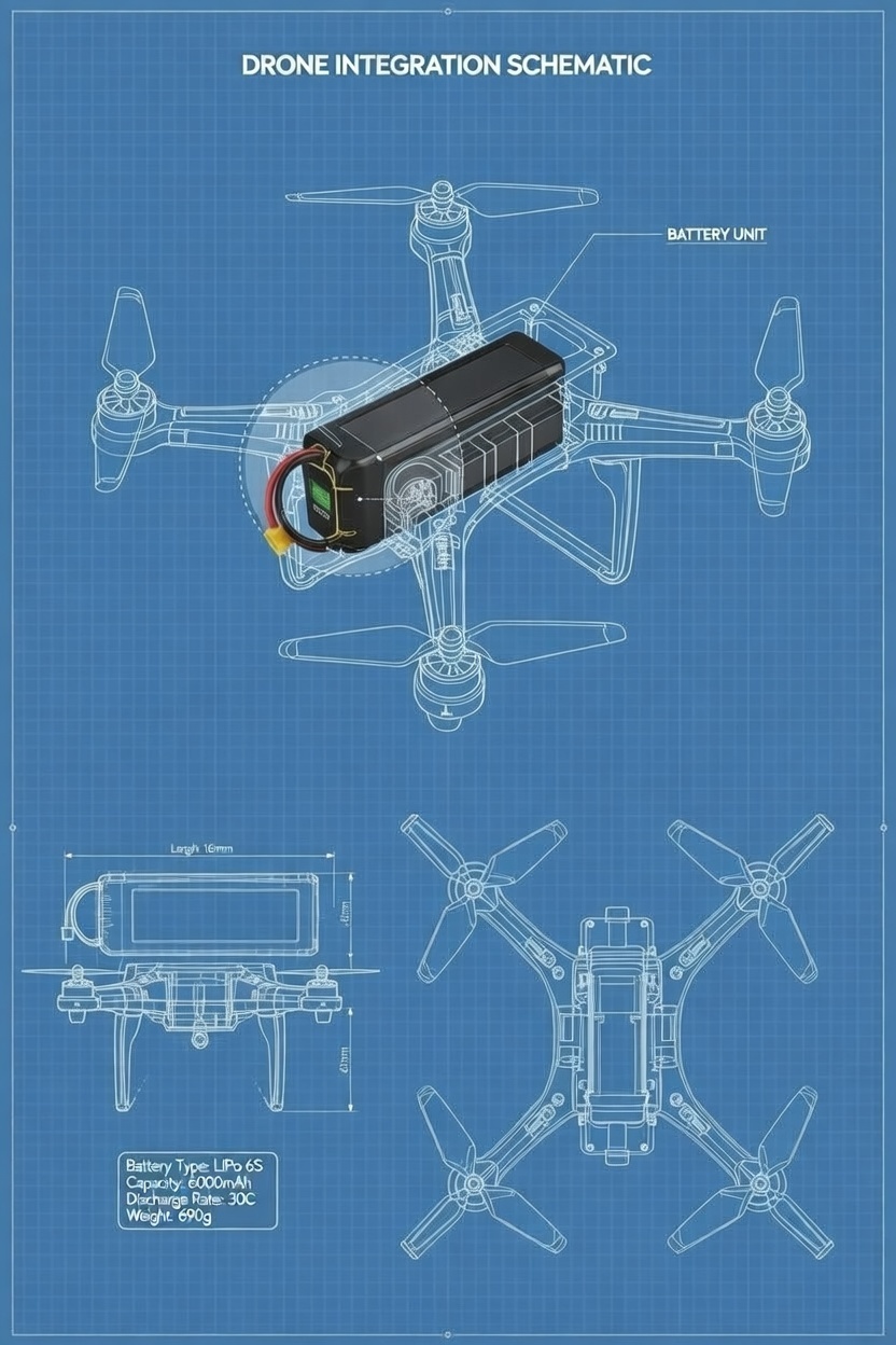
The Battery Performance Imperative
Battery performance isn’t just about flight duration—it’s the linchpin of accurate data collection. A 2024 study by the University of Technology Sydney demonstrated that battery voltage fluctuations during flight directly correlate with camera shutter timing inconsistencies, resulting in blurred images and reduced mapping accuracy. For construction mapping drones, which often operate at maximum capacity for extended periods, battery stability is non-negotiable.
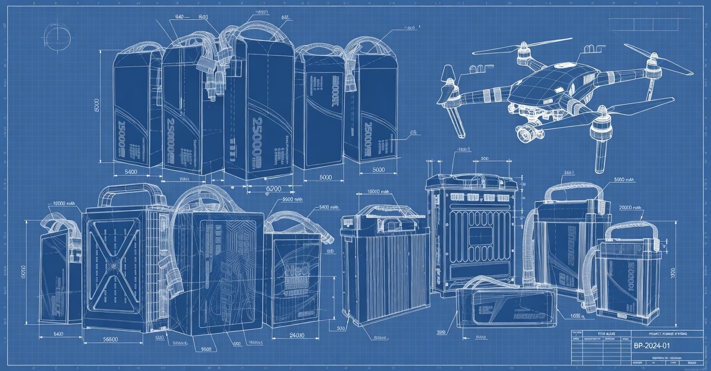
CNS Battery, a leader in drone battery innovation, emphasizes that high-performance lithium polymer (LiPo) batteries with precise voltage management systems are essential. Their custom drone batteries undergo rigorous testing for thermal stability, discharge consistency, and environmental resilience—critical factors for construction mapping applications. “Our clients in the construction sector consistently report 30-40% fewer flight interruptions and 25% more accurate mapping results after switching to our battery solutions,” notes a CNS Battery technical specialist.
Industry Best Practices for Accurate Performance Testing
Implement a Comprehensive Testing Framework
Develop a standardized testing protocol that covers:
- Battery Cycle Testing: Perform 5-10 full charge/discharge cycles in field conditions before deployment
- Environmental Simulation: Use weather chambers to mimic site-specific conditions
- Data Integrity Checks: Validate each flight’s data completeness before processing
- Cross-Device Comparison: Test multiple drones under identical conditions to identify inconsistencies
Leverage Technology for Precision
Modern drone performance testing requires more than manual checks. Utilize:
- Battery Management Systems (BMS): For real-time voltage and temperature monitoring
- Flight Planning Software: With built-in performance prediction analytics
- Data Validation Tools: Such as Agisoft Metashape or RealityCapture for post-flight quality checks
Partner with Specialized Battery Providers
Don’t rely on generic consumer batteries. Construction mapping demands specialized power solutions. CNS Battery offers B2B clients customized drone batteries with extended lifespans, optimized discharge rates, and waterproof designs specifically engineered for industrial mapping applications. Their modular battery systems allow for quick swaps during extended site operations, minimizing downtime and maximizing survey efficiency.
Actionable Steps for Your Next Mapping Project
- Conduct a Pre-Project Battery Assessment: Test your drone’s battery performance under expected site conditions before the first flight.
- Establish a Standardized Testing Protocol: Document and share a detailed checklist with your drone team.
- Invest in Professional Battery Solutions: Explore advanced options like CNS Battery’s custom drone batteries designed for construction mapping.
- Implement Real-Time Monitoring: Use apps or systems that track battery health and performance during flights.
- Train Your Team: Ensure all drone operators understand the critical role of battery performance in data accuracy.
Transform Your Construction Mapping with Reliable Power
Accurate construction mapping isn’t just about having the right drone—it’s about ensuring that drone performance is validated under real-world conditions. The stakes are too high for shortcuts in testing, especially when projects can span millions of dollars. By avoiding these common performance testing pitfalls and partnering with a battery provider that understands your specific needs, you can transform your drone operations from a potential liability into a strategic asset.
Ready to elevate your construction mapping accuracy? CNS Battery specializes in delivering customized drone battery solutions engineered for industrial precision. Our high-capacity, long-lasting batteries undergo rigorous testing to ensure stable performance in demanding construction environments. Whether you need waterproof designs, fast-charging capabilities, or lightweight modular systems, we’ve got you covered.
Get your custom drone battery quote today! Visit our contact page to speak with our B2B specialists and discover how our tailored battery solutions can extend your flight time, improve mapping accuracy, and enhance your project efficiency. Don’t let battery limitations hold back your drone’s potential—power your next mission with CNS Battery.